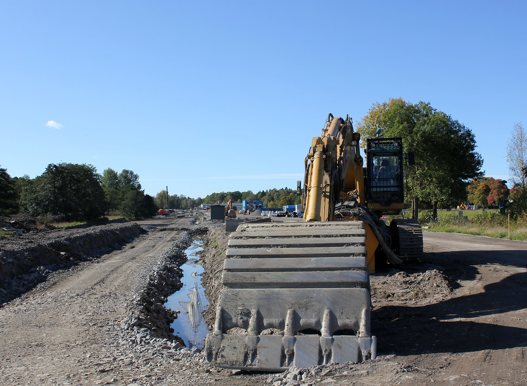
This is a busy construction site. Not that hard to figure out that perhaps although no one was around working when I shot this. I took the photo nearly two months ago, so it looks a bit different today. Any idea what it is? If you come up with a few good guesses I promise to go back here on Monday and take another photo with the answer.


12 comments:
My guess would be a bicycle/walking path.
It looks like a canal or something. Whatever it is, I bet it's something neat.
i think it is an avenue of trees either side of perhaps a path or canal ... surely not a road ...
I have no idea, but now I am curious to know.
I'll come back on Monday.
Hmmmm! maybe they are widening the road, or perhaps the start of an overpass...will find out tomorrow hey Steffe.
Count me in as another one who guesses a bike and walking path. My second guess would be some sort of rail transportation corridor.
A rocket launching site to defend against invasion by the Norwegian Army. I hear there is tension at your border - something about Trolls.
A rail track?
I like Peter's thought bubble!!!!!
Work on the rail at Nederstaleden? http://g.co/maps/cdju3
We have a winner. Although Stoked4Life failed to nail the Google Maps correctly, you missed by around one km! The photo shows the Krigslida commuter station on a day when all signs of rail and platforms had been removed. It opened again for traffic this morning.
Well thanks, and keep on posting, Steffe. ;)
Post a Comment